UN
177a Percy Avenue
£ 362,500
Description
We don't have a Description for this property.
- Bedrooms
- 4
- Bathrooms
- 0
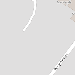

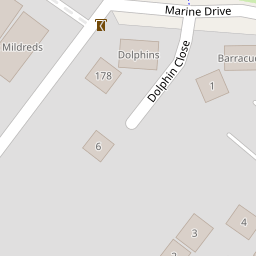

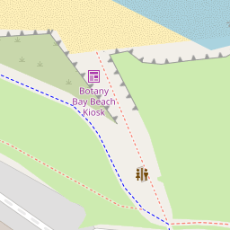

Leaflet © OpenStreetMap contributors
The heatmap indicates the level of crime in the area. The color of the heatmap indicates the crime severity and recency.
Metrics Year-on-Year
- Average area value
- 530,300.00 £Decreased by 23.26 %
- Average area rental value
- 1,232.00 £/moIncreased by 37.81 %
- Est rental Yield
- 2.79 %Increased by 80.00 %
- Crime Rate
- 20.00 %Unchanged by 0.00 %
from 691,060.00 £
from 894.00 £/mo
from 1.55 %
from 20.00 %
Nearby Schools
| Name | Type | Ofsted | Distance |
|---|---|---|---|
| St Peter-In-Thanet Cofe Junior School | Voluntary Aided School | Good | 1.94 KM |
| Callis Grange Nursery And Infant School | Community School | Outstanding | 1.95 KM |
| Callis Grange Children'S Centre | Children's Centre | 2.03 KM | |
| Stone Bay School | Foundation Special School | Good | 2.53 KM |
| Kms Kent Ltd | Special Post 16 Institution | 2.58 KM |
Images
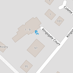
Nearby Streets
| Name | Average Price | Average Sqft | Distance |
|---|---|---|---|
| Kingsgate Court | £ 325,000 | 0 | 0.00 KM |
| Second Avenue | £ 537,688 | 0 | 0.00 KM |
| Marine Drive | £ 1,265,000 | 0 | 0.00 KM |
| First Avenue | £ 780,000 | 0 | 0.00 KM |
| Oakridge | £ 877,500 | 0 | 0.00 KM |
Nearby Transport
| Name | NLC | TLC | Distance |
|---|---|---|---|
| Broadstairs | 5006 | BSR | 2.98 KM |
| Dumpton Park | 5034 | DMP | 4.74 KM |
| Ramsgate | 5023 | RAM | 6.04 KM |
| Margate | 5018 | MAR | 6.90 KM |
Nearby Listings
| Address | Price | Type | Score | Distance |
|---|---|---|---|---|
| Botany Road, Broadstairs, CT10 | £ 579,995 | BUY | Unknown | 0.11 KM |
| Botany Road, Kingsgate, Broadstairs, Kent | £ 800,000 | BUY | Unknown | 0.12 KM |
| Kingsgate Avenue, Kingsgate Court, CT10 | £ 325,000 | BUY | 5 / 10 | 0.16 KM |
| Kingsgate Avenue, Broadstairs | £ 325,000 | BUY | 5 / 10 | 0.16 KM |
| Dolphin Close, Broadstairs, Kent | £ 700,000 | BUY | 6 / 10 | 0.17 KM |
Nearby Properties
| Address | Price | Distance |
|---|---|---|
| 177a Percy Avenue | £ 362,500 | 0.00 KM |
| 170 Percy Avenue | £ 700,000 | 0.00 KM |
| 164 Percy Avenue | £ 675,000 | 0.00 KM |
| 179 Percy Avenue | £ 360,000 | 0.00 KM |
| 178 Percy Avenue | £ 340,000 | 0.06 KM |